

Raja Ampat was unknown to the diving world until the late 1990s. The story of its discovery involves pioneering marine biologists, a persistent Dutch diver, and fish counts that rewrote the record books.
Before Discovery
For the indigenous Papuan communities who have lived among Raja Ampat's 1,500 islands for millennia, the region was never lost or waiting to be found. Local fishermen knew the reefs, the currents, and the seasonal movements of fish with the precision that comes from generational dependence on the sea.
To the outside world, however, Raja Ampat was a blank space. As recently as the early 1990s, the region appeared on few dive maps and in no travel guides. West Papua (then known as Irian Jaya) was remote, politically sensitive, and practically inaccessible to international tourism. The waters surrounding the Bird's Head Peninsula, the northwestern tip of New Guinea, had barely been surveyed by marine scientists, let alone by recreational divers.
What lay beneath the surface was, in scientific terms, unknown.
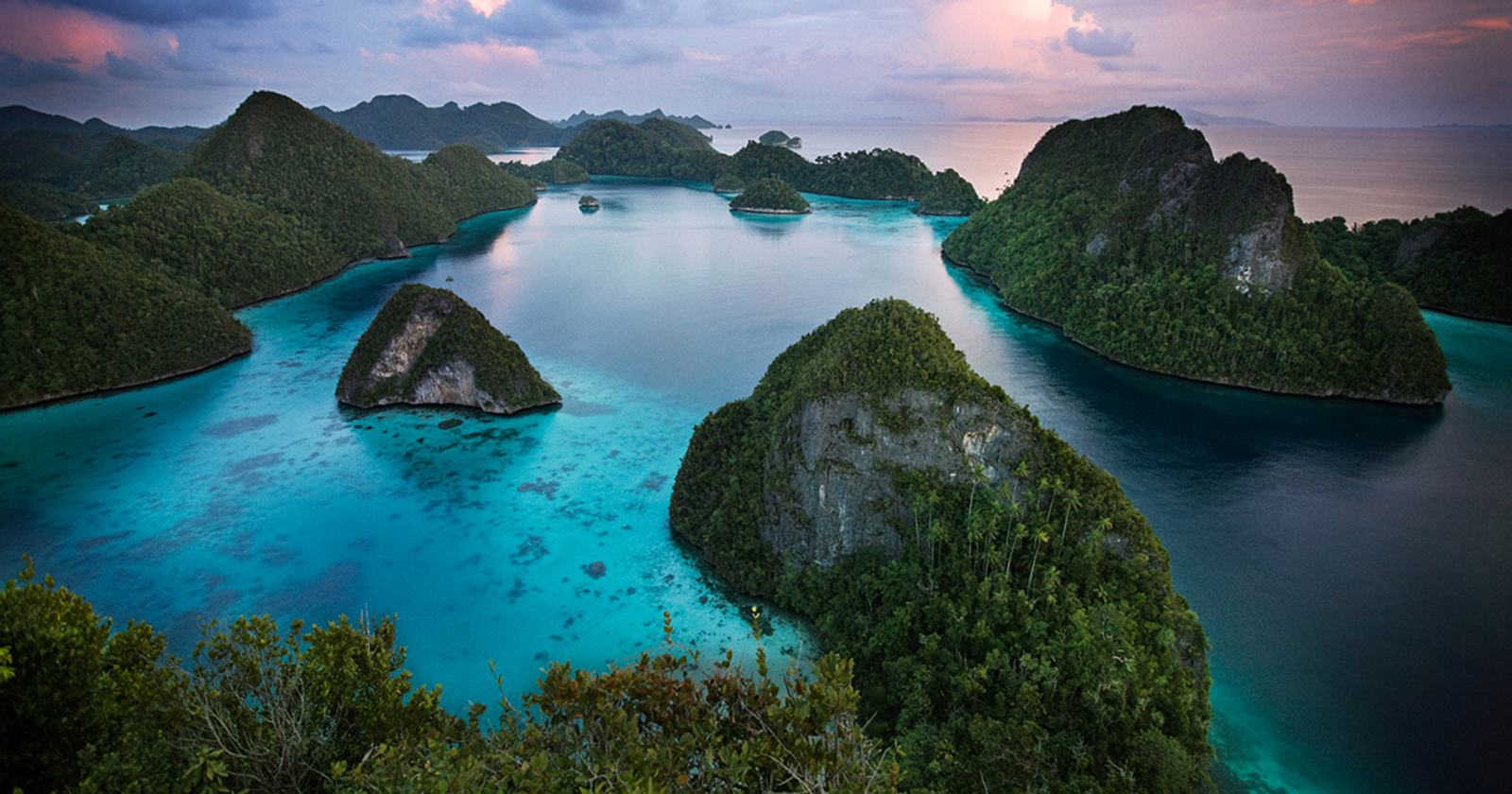
The Bird's Head (Kepala Burung) is the northwestern extremity of the island of New Guinea, named for its resemblance to a bird's head in profile. Raja Ampat sits at its tip, straddling the equator and positioned at the meeting point of the Indian and Pacific Oceans. This geography is central to understanding why its marine biodiversity is so exceptional.
The Scientific Expeditions
The systematic documentation of Raja Ampat's marine life began with Conservation International (CI), which launched a series of Marine Rapid Assessment Program (RAP) surveys across the Bird's Head Peninsula in the late 1990s and early 2000s.
The CI team, led by some of the world's foremost marine taxonomists, conducted fish and coral species counts at dozens of sites across Raja Ampat, Cenderawasih Bay, and Triton Bay. The methodology was straightforward: experienced scientists dived reefs and counted every species they could identify within a fixed time period.
The results were staggering. Site after site produced species counts that exceeded anything previously documented in the Coral Triangle or anywhere else in the world. The sheer density of marine life, the number of species co-existing on single reefs, and the health of coral formations defied expectations.
By the time the RAP surveys were complete, the data was unambiguous: Raja Ampat contained the highest marine biodiversity ever recorded. The Bird's Head Peninsula, and Raja Ampat in particular, sat at the absolute epicenter of the Coral Triangle, the global hotspot of marine species richness.
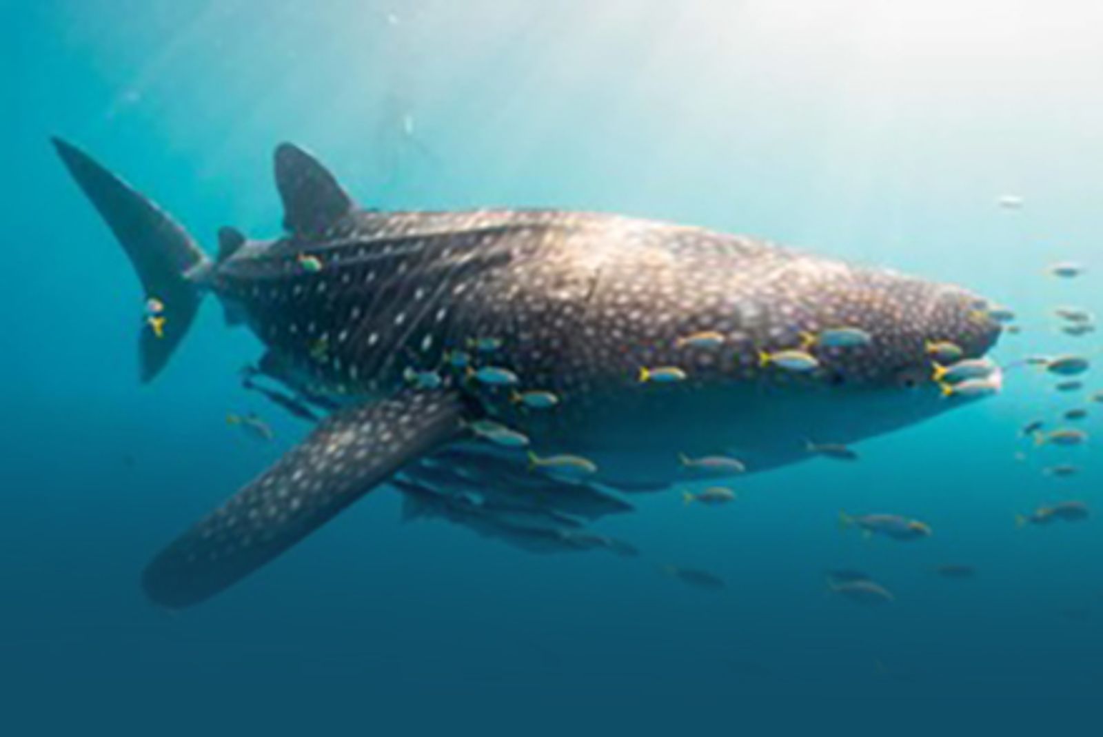
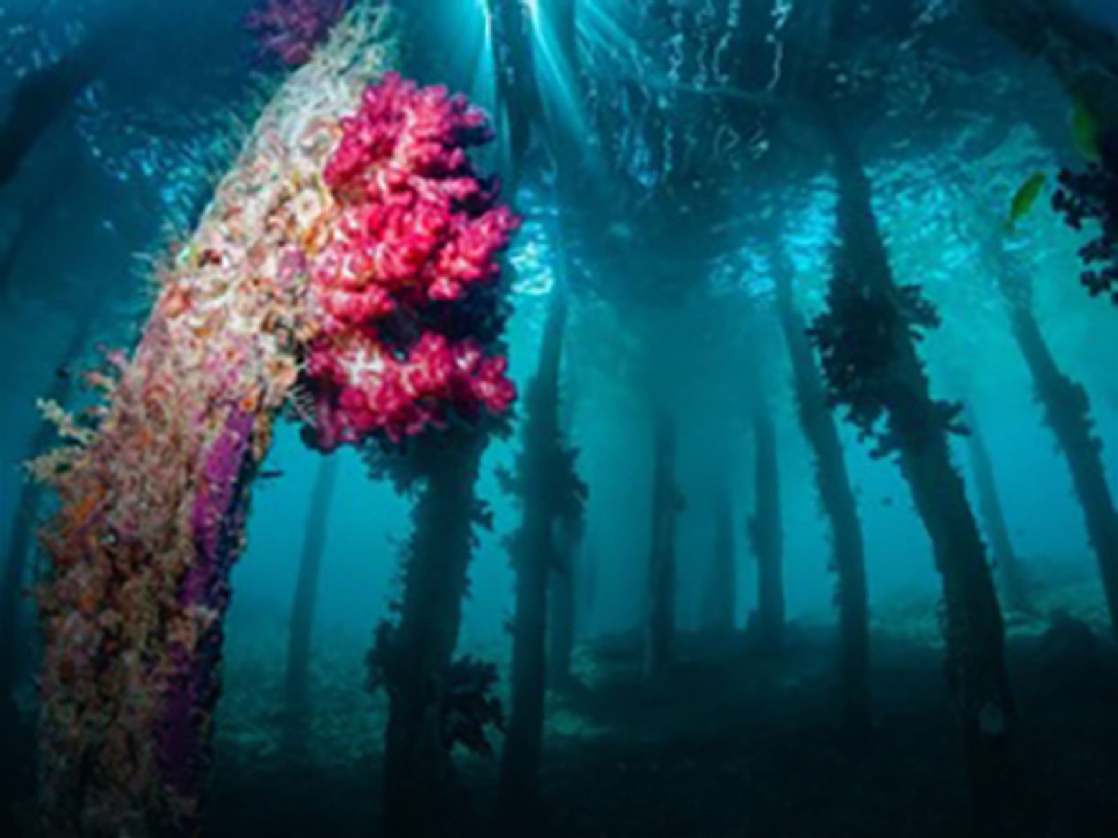
The reefs of Raja Ampat host a density of marine species unmatched anywhere else on Earth.
The Fish Count That Changed Everything
The data point that captured global attention came from Dr. Gerry Allen, one of the world's leading ichthyologists and a key member of the CI survey team. At a reef called Cape Kri, in the Dampier Strait between Waigeo and Batanta, Dr. Allen conducted a single one-hour dive during which he identified and recorded 374 distinct fish species.
This was, and remains, the highest fish species count ever documented on a single dive anywhere in the world. To put it in perspective: some entire Caribbean island nations do not contain 374 reef fish species in their combined waters. Dr. Allen found them on one reef, on one dive, in one hour.
The Cape Kri count became the headline figure that introduced Raja Ampat to the diving community. It was cited in National Geographic, in peer-reviewed journals, and across dive media worldwide. It gave a concrete, verifiable number to what had previously been anecdotal reports of exceptional biodiversity.
Max Ammer and the Dive Pioneers
While scientists documented Raja Ampat's biodiversity, a handful of dive pioneers were independently exploring its waters. Among the most significant was Max Ammer, a Dutch diver and conservationist who arrived in the region in the mid-1990s and established some of the first diving operations.
Ammer's early explorations of Raja Ampat's reefs, conducted from basic boats with minimal equipment, mapped many of the dive sites that are now world-famous: Manta Sandy, Blue Magic, Sardine Reef, and dozens of others. His knowledge of the region's currents, seasonal patterns, and site characteristics became foundational for the dive tourism that followed.
Ammer also played a critical role in connecting scientific research to conservation action. His relationships with local communities, his documentation of reef conditions, and his advocacy for marine protection helped lay the groundwork for the marine park system that now governs the region.
Other early dive operators, Indonesian and expatriate, contributed to opening different areas of Raja Ampat, each adding to the collective knowledge of what the region's waters contained. The dive map of Raja Ampat that exists today is the accumulated result of two decades of exploration by a relatively small group of committed individuals.
Both sites were among the first mapped by early dive pioneers and remain the most visited in the Dampier Strait today. Manta Sandy is a reliable cleaning station where reef mantas gather year-round. Cape Kri, where Dr. Allen set his world record, sits just a short RIB ride from Mansuar Island and remains one of the most species-dense reef walls in the archipelago.
From Discovery to Protection
The scientific data produced by the CI surveys, combined with growing international awareness driven by dive tourism, created momentum for formal protection.
In 2007, the Raja Ampat Marine Protected Area network was established, covering approximately 2 million hectares of ocean. The management system combined government regulation with community-based enforcement, recognizing that the indigenous communities who had stewarded these waters for centuries were essential partners in conservation.
The Raja Ampat Marine Park Entry Permit system, which funds conservation patrols and community development programs, was designed to make tourism part of the solution rather than the problem. Every visiting diver and yacht charter contributes directly to the protection of the reefs they come to see.
The results have been measurable. Coral reef health in Raja Ampat's managed zones has remained stable or improved over the past decade, even as global coral decline accelerates elsewhere. Fish populations in no-take zones have recovered significantly. The manta ray population in the Dampier Strait is monitored and appears stable.
Raja Ampat Now
Two decades after its "discovery," Raja Ampat is recognized as the world's most important marine biodiversity region. It draws divers, scientists, photographers, and conservation professionals from every continent.
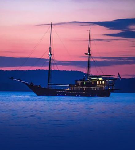
Yet it remains remarkably uncrowded. The access logistics (domestic flights to Sorong, followed by a boat journey into the archipelago) act as a natural filter. There are no large resort developments, no cruise ship terminals, no mass tourism infrastructure. The primary way to experience Raja Ampat is the same way its first explorers did: by boat, moving between anchorages, diving reefs that feel untouched, and sleeping on the water under equatorial stars.
This is not an accident. It is the result of deliberate choices by the communities, government authorities, and conservation organizations that manage the region. They have chosen to prioritize the health of the ecosystem over the volume of visitors. For those who make the journey, this choice is immediately and profoundly apparent.