Northern Papua, Indonesia

Mapia Atoll

Indonesia's most remote coral kingdom.

Scroll
3
Coral Ring Islets
Oct–Apr
Season
Largely Undived
Reef Condition
1,000+ km
From Nearest Airport

Where the Map Runs Out

Mapia Atoll is not a destination you stumble upon. Positioned in the remote waters north of West Papua, roughly equidistant between the Bird's Head Peninsula and Palau, this solitary coral ring sits more than 1,000 kilometers from the nearest commercial airport. Most people have never heard of it. Even within Indonesia, few have seen it.

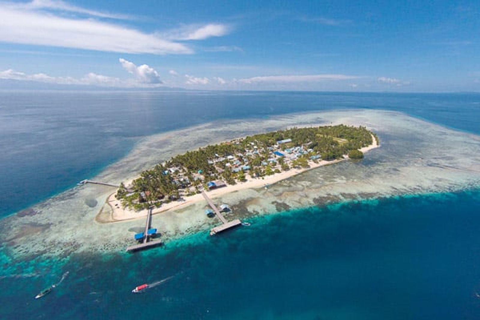
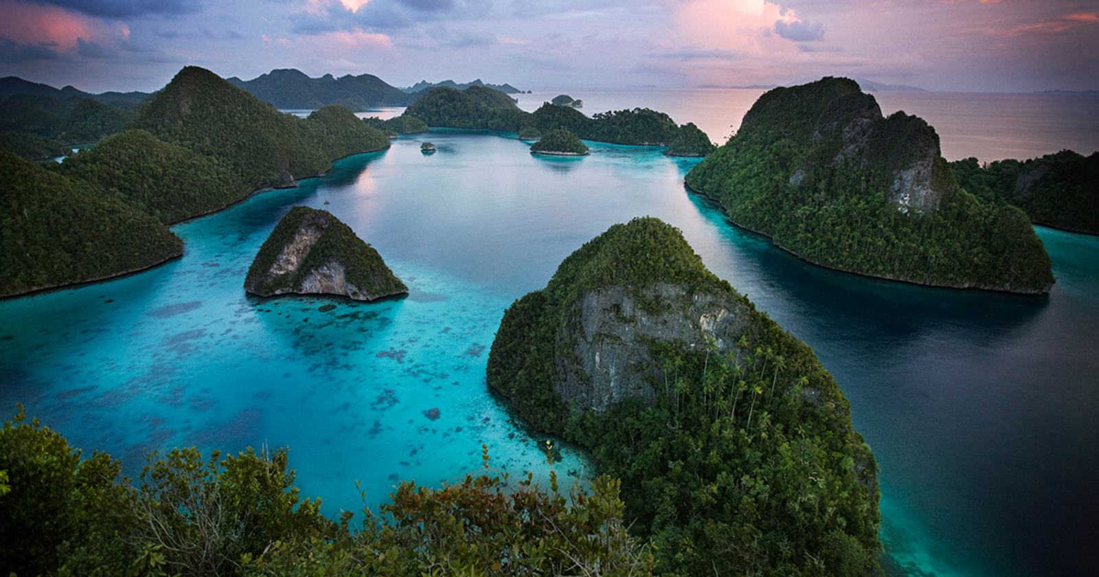
The atoll consists of three small islets (Fanildo, Bras, and Fani) strung along a single submerged coral rim. The total land area is negligible. The reef, by contrast, plunges into deep water on all sides, forming walls that have never seen dive operators, tourism pressure, or degradation from anchor damage. What exists here is a reef in its original state.

A small permanent settlement of Indonesian fishermen occupies Fani Island, but beyond that the atoll is empty. No dive shops, no resorts, no mooring buoys. Just open ocean, an unbroken coral ring, and an underwater world that has been quietly doing its thing for millennia.


Mapia's coral ring encloses a shallow lagoon of extraordinary clarity

Mapia's coral ring encloses a shallow lagoon of extraordinary clarity

"

"There are places in Indonesia that have never been properly dived. Mapia is one of them. The distance that keeps most people away is exactly what has preserved what's there."

Indo Yachts, from the captain's log

Why Mapia Is Different

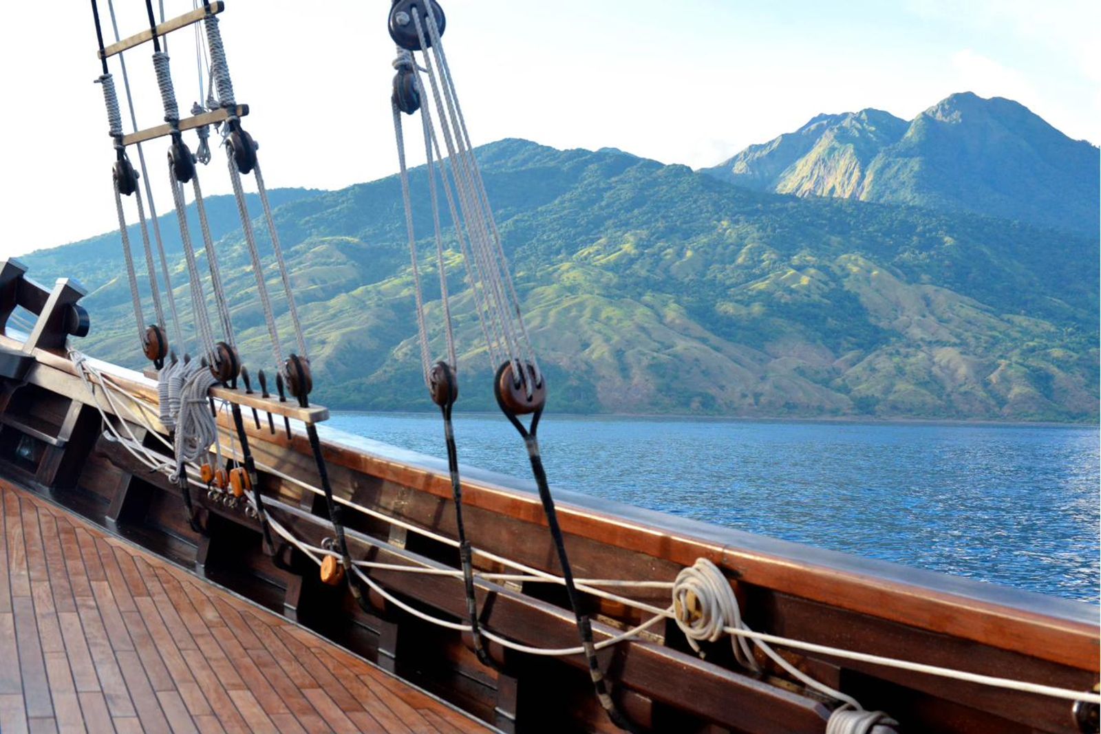
Mapia is not remote in the way that Raja Ampat or Cenderawasih Bay are remote. Those destinations have airports, infrastructure, and established charter routes. Mapia requires a genuine ocean passage of several days aboard a capable yacht. The distance is the filter that preserves it.

Atoll systems that have never been commercially dived retain a structural integrity that years of dive tourism slowly erode. Unbroken table corals, undamaged sea fans, fish that have never been spearfished and show no wariness around divers. This is what Mapia offers.

The outer walls of the atoll drop into open ocean, creating conditions that draw pelagic species: sharks, tuna, manta rays, and the possibility of encounters that simply don't occur at shallower, more sheltered destinations.

outer coral wall at Mapia Atoll
Above the Surface

Beyond the Reef

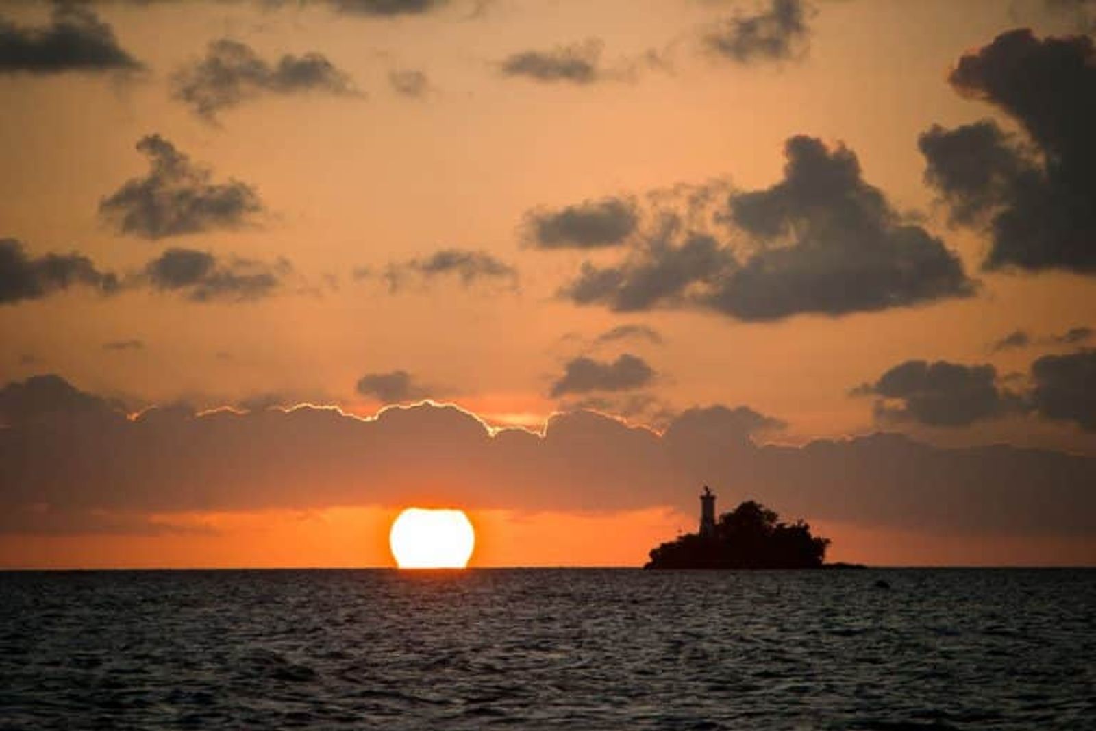
The surface world at Mapia is austere and beautiful in equal measure. The islets are low-lying and densely vegetated with coconut palms and scrub forest. Beaches of fine white sand ring each islet, unmarked by footprints. Frigatebirds wheel overhead in permanent vigil.

The small fishing community on Fani Island has lived here for generations. A visit ashore offers a rare glimpse of an Indonesian community as isolated from modern life as any on the archipelago. Inter-island travel is by outrigger canoe. The pace is defined by tide and wind.

Deserted Beaches

White sand shores unmarked by tourism

Frigatebird Colony

Vast seabird populations nesting on Fanildo

Fani Village

One of Indonesia's most isolated communities

Deserted white sand beach on Mapia's islets
Our Experience
Our Experience

We Know These Waters

Reaching Mapia requires passage planning that goes beyond conventional charter work. Weather windows, provisioning for extended offshore passages, current conditions in the waters north of West Papua: this is expedition sailing, and it demands a team that has done it before.

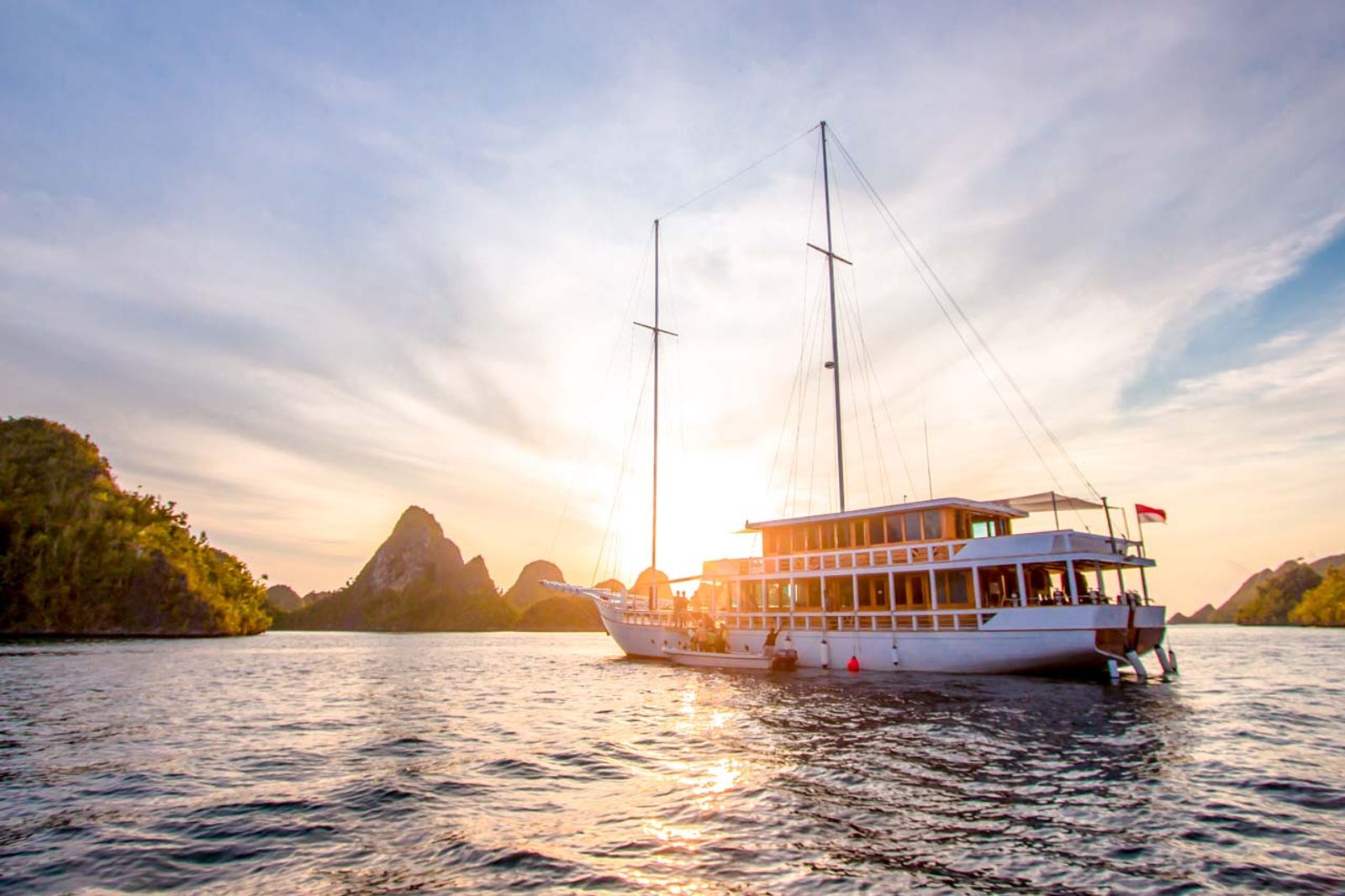
Indo Yachts has been operating in Indonesian waters since 2015. The captains and dive teams we work with have made the passage to Mapia and know what's down there.

Since 2015

Operating in Indonesia

~48 hrs

Passage from Biak

Expedition

Vessel Profile

The Atoll

Three Islets, One Reef System

Mapia's three islets (Fanildo, Bras, and Fani) each offer distinct character above and below the surface, all connected by the same continuous coral rim.

Northern Atoll

Northern Atoll

Fanildo Islet

The largest islet in the atoll, Fanildo sits at the northern edge of the coral ring. The outer reef here faces the prevailing swell and drops quickly to depth, conditions that attract sharks and schooling pelagics. Significant frigatebird nesting colony above the tideline.

Outer Wall Shark Activity Frigatebirds
Interior Lagoon

Interior Lagoon

The Inner Lagoon

The enclosed lagoon between the islets is shallow, clear, and calm. Coral gardens in perfect condition. Excellent snorkeling and easy diving with no current. The natural harbor formed here provides the best anchorage in the atoll, protected from ocean swell.

Snorkeling Calm Conditions Best Anchorage
Southern Atoll

Southern Atoll

Fani & Bras Islets

The southernmost islets where Mapia's small permanent population lives. The reef fringing Fani drops into a channel with strong tidal flow, making it the most dynamic diving on the atoll. The village on Fani offers a rare encounter with one of Indonesia's most isolated communities.

Village Visit Tidal Channel Drift Diving
Expedition Diving

Key Dive Sites

Mapia's dive sites are not catalogued in any guidebook. What exists here has been documented by the handful of expeditions that have reached it. Conditions vary with season and swell. All diving is expedition-style: drift, wall, and open-water encounters.

Fanildo, Outer Reef

Fanildo, Outer Reef

North Wall

The outer northern face of the atoll drops in a sheer wall from 8 meters to beyond 40. Dense hard coral coverage, large sea fans, and the highest shark density on the atoll.

Sharks Wall
Fani, Southern Channel

Fani, Southern Channel

Fani Channel

The tidal pass between Fani and Bras creates predictable drift conditions. The incoming tide pushes warm lagoon water out into the channel, concentrating fish life and triggering feeding activity.

Pelagic Drift
Interior, Lagoon

Interior, Lagoon

Lagoon Gardens

The shallow interior lagoon hosts undisturbed table coral formations, bommies draped in soft coral, and a density of reef fish that has never experienced fishing pressure from above.

All Levels Coral
Fanildo, Eastern Corner

Fanildo, Eastern Corner

East Corner

Where the atoll curves eastward, a submerged pinnacle rises from 35 meters to just below the surface. Current sweeps over it on both tides, bringing manta and eagle rays. Unpredictable and thrilling.

Rays Pinnacle

Marine Life

What You'll Encounter

Mapia's isolation means species here have had minimal contact with humans. Expect close approaches from animals that have no reason to be afraid.

Carcharhinus amblyrhynchos

Grey Reef Sharks

Carcharhinus amblyrhynchos

Large resident populations on all outer walls. Unexpectedly bold due to the absence of fishing pressure. Patrolling in groups of 10-20 on deeper sections.

Mobula birostris

Oceanic Manta Rays

Mobula birostris

Oceanic mantas pass through the atoll, particularly at the East Corner pinnacle during current flow. Encounters are unpredictable but possible on any dive.

Cheilinus undulatus

Humphead Wrasse

Cheilinus undulatus

Significant populations of this CITES-listed species roam the lagoon. On reefs without spearfishing history, they approach divers with complete indifference.

Chelonia mydas

Green Sea Turtles

Chelonia mydas

Nesting beaches on all three islets. Turtles are present on every dive, grazing on the reef flat, sleeping on sandy patches, or resting beneath coral overhangs.

Caranx spp., Acanthocybium

Schooling Pelagics

Caranx spp., Acanthocybium

The open-ocean setting concentrates trevally, wahoo, and tuna around the atoll's structure. Bait ball activity on the surface is visible from the boat deck.

Acropora & Porites formations

Intact Coral Architecture

Acropora & Porites formations

Table corals spanning two meters, intact branching formations, and massive Porites bommies representing decades of undisturbed growth. The structural integrity of these reefs is rare at this scale.

The Numbers

  • 3 islets on a single coral ring
  • 1,000+ km from the nearest commercial airport
  • 0 commercial dive operators ever stationed here
  • 40m+ outer wall drops on the northern face

Planning

When to Visit Mapia Atoll

These waters have their own weather patterns, distinct from the Java Sea monsoon. Timing the passage correctly is fundamental to making this expedition work.

Expedition Window: October through April

The expedition window runs October through April, when the waters just north of West Papua settle to manageable swell. Conditions are best from November through March, with the October and April shoulders the calmest months for the long crossing and offering water clarity of 25 to 35 meters.

June through August is consistently good with stable winds from the southeast. September and October extend the window with slightly higher swell but reliable conditions. Visibility tends to peak after the calm of the dry season.

Season to Avoid: December through March

The northwest monsoon brings confused seas and unpredictable weather to the area between December and March. Passage planning becomes unreliable and swell on the outer walls makes diving unsafe. This period is firmly off-limits for an expedition of this nature.

Even within the good season, a weather window of at least 10 to 14 days is required to allow for the passage, time at the atoll, and return. Flexibility in schedule is not optional. It is part of the brief.

Month Conditions Visibility Mantas
January Challenging 10-15m Low
February Challenging 10-15m Low
March Decreasing 15-20m Low
April Excellent 30-35m High
May Excellent 30-35m High
June Very Good 25-35m High
July Excellent 25-30m High
August Good 20-30m High
September Variable 20-30m Medium
October Variable 20-25m Medium
November Variable 15-25m Medium
December Heavy 10-20m Low
Peak
Shoulder
Off Season

Expedition Scheduling

Mapia requires a minimum 14-night voyage to justify the passage. We recommend planning for 18 to 21 nights to allow genuine flexibility around weather windows. Contact us early: passage planning for Mapia begins three to six months before departure.

Logistics

Getting to Mapia

Departure City
Travel Time
Sorong (SOQ), West Papua
~3 days passage By sea
Manokwari (MKW), West Papua
~2.5 days passage By sea
Biak (BIK), West Papua
~2 days passage Closest airport
Jakarta (CGK) to Biak
~4-5 hours 1 stop via Makassar

The Passage

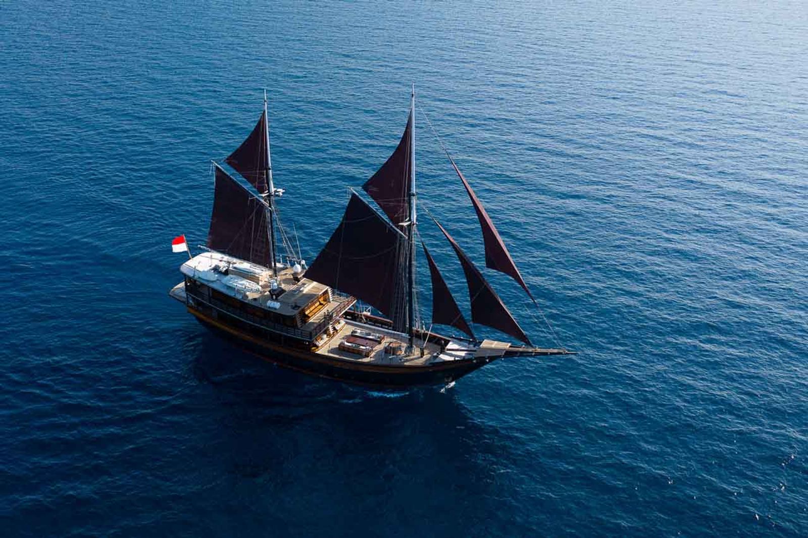
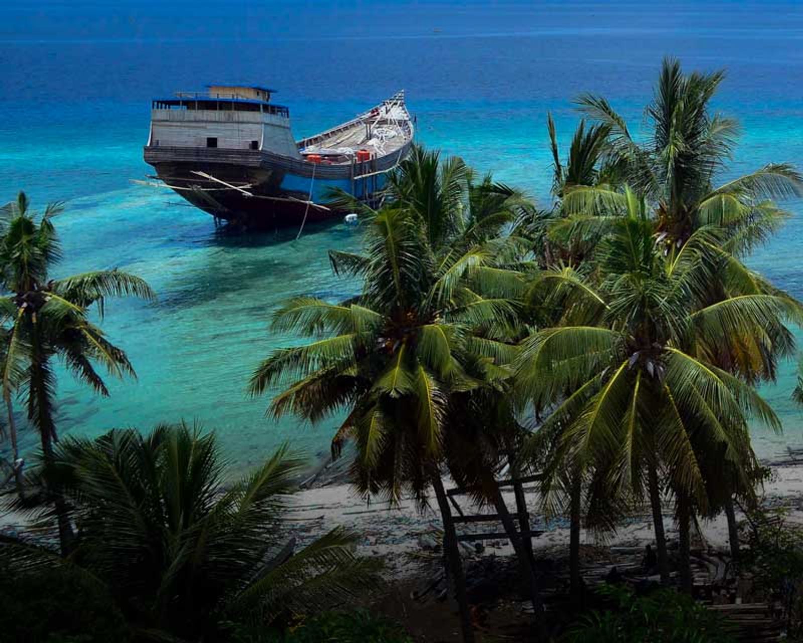
The closest practical departure point for a Mapia expedition is Biak, the main town of the Cenderawasih Bay area with flights from Makassar and Jakarta. From Biak, the open-sea passage to Mapia takes approximately 48 hours in good conditions aboard a capable phinisi.

Sorong or Manokwari are viable alternatives, particularly if combining Mapia with a Raja Ampat or Cenderawasih Bay itinerary, though both add time to the passage.

Vessel Requirements

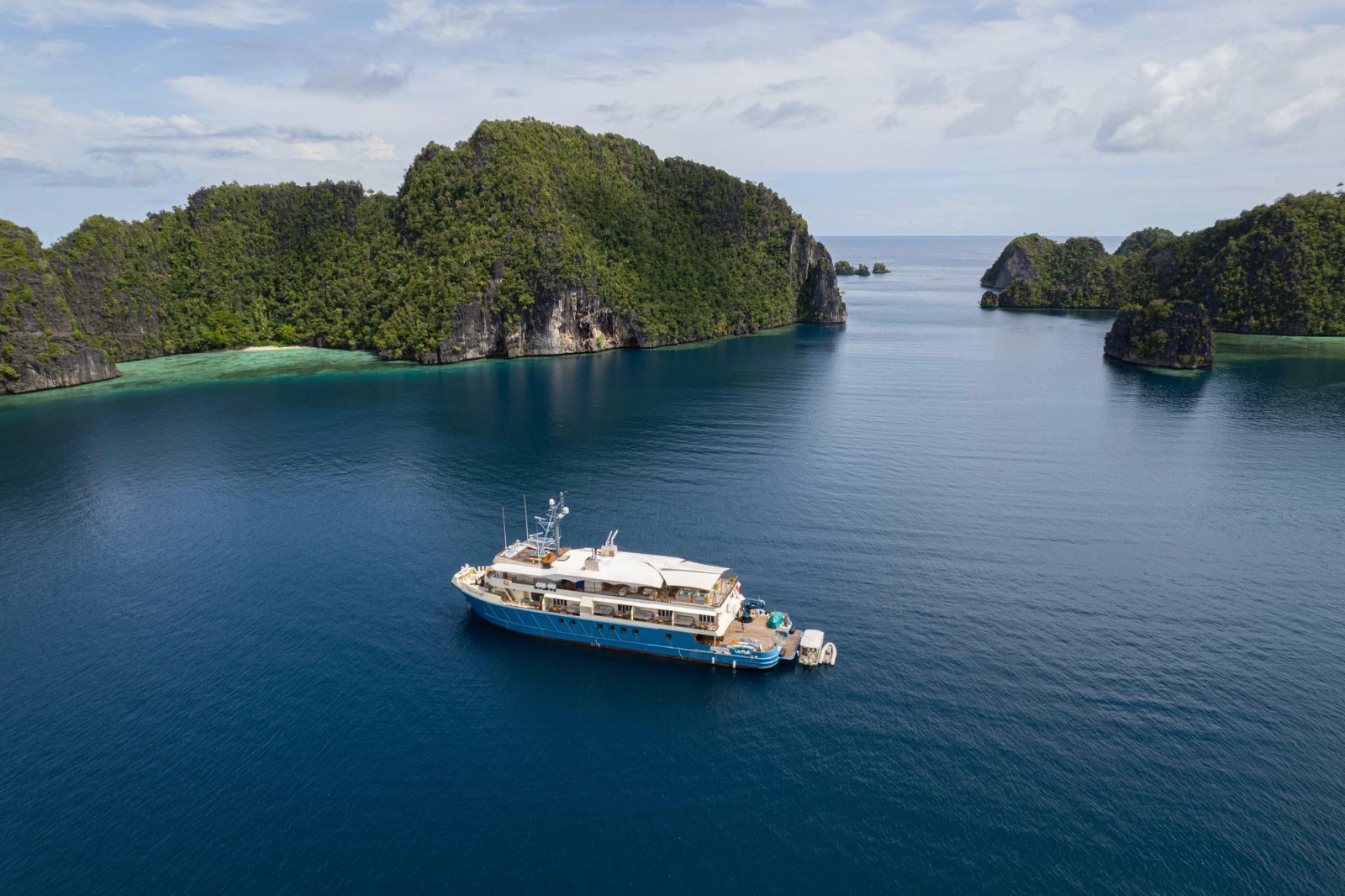
A Mapia charter requires an expedition-capable vessel with extended range, experienced crew, and a dive team suited to open-ocean conditions. Not all yachts in our fleet are appropriate for this voyage. Contact us to discuss which vessels are certified and equipped for the Mapia passage.

~48hrs

From Biak

14-21 Nights

Minimum Voyage

Small Groups

Expedition Style

From the Charter Team

Insider Knowledge

Things that don't appear in any guidebook, because this destination doesn't have one.

Insider knowledge card image

Build in Buffer Time

The greatest risk on a Mapia expedition is not the diving but the weather window for the return passage. Plan a minimum of 3 buffer days beyond your intended turnaround. Open-ocean weather can pin a yacht at anchor for longer than expected when a low-pressure system moves through the area.

Insider knowledge card image

Dive Fani Channel on the Incoming Tide

The best shark activity in the southern channel occurs on the last hour of the incoming tide when current speed peaks. Time your dive to be in position as the flow begins to slow. This is a 45-minute window. Briefing and kitting up need to be precise.

Insider knowledge card image

Bring Gifts for Fani Village

The community on Fani Island receives almost no supply ships. Basic goods (rice, cooking oil, sugar, fishing line) are genuinely welcomed and create the goodwill that allows permission to dive the southern reef system. This is not tourism protocol; it is the right thing to do in an isolated community.

Questions

Mapia Atoll FAQ

How do I get to Mapia Atoll?

There is no commercial route. The only way to reach Mapia is by private yacht passage from Biak, Manokwari, or Sorong in West Papua, a crossing of 48 hours or more in good conditions. This is a pure expedition destination.

What experience do I need to dive Mapia?

Advanced Open Water minimum, with 50+ logged dives strongly recommended. Drift and open-ocean conditions require divers comfortable managing buoyancy in current. All diving is expedition-guided with no resort infrastructure.

How long does a Mapia expedition take?

Minimum 14 nights to justify the passage and allow meaningful time at the atoll. We recommend planning for 18 to 21 nights to include buffer time for weather and to combine with Cenderawasih Bay or Raja Ampat.

Is Mapia safe to dive?

Yes, within the parameters of expedition diving. Outer wall conditions and tidal channels require experience and briefing. The shark populations are large but behave predictably. All diving at Indo Yachts is professionally guided and DAN-covered.

Interested in Chartering Mapia Atoll?

Please get in touch to discuss planning your private charter.